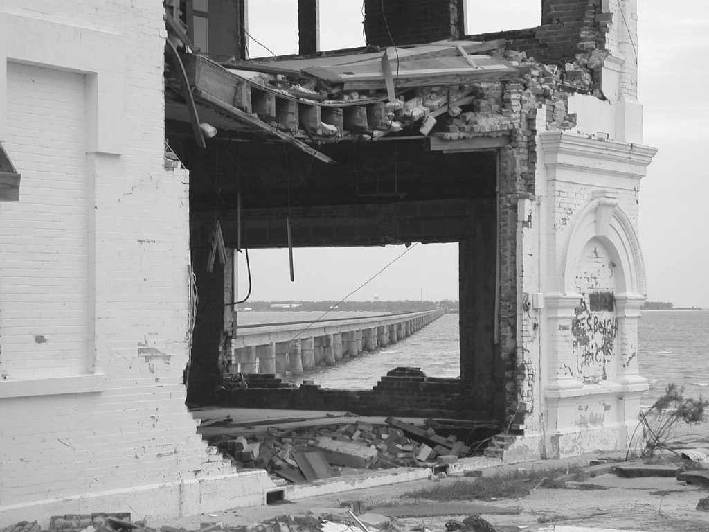
| Note that US 90 bridge deeper in the inlet was completely destroyed and was not even close to be operational when this shot was taken a year after Katrina. |
| Date:
10/25/2006 |
Location:
Bay Saint Louis, MS Map  |
Views:
442 |
Collection Of:
  G Gerard
 |
|
Author: G Gerard
|
 |
| Picture Categories: |
This picture is part of album: Depots Mississippi |